Purchasing Imagery Has Never Been Easier
For general inquiries and more complex quotes, contact us directly
- Streamlined buying process
- Tailored support for specific needs
- Simplified pricing with small, or no, minimum buys
- Lowest-in-industry pricing for tasking
- Discounts for NGO and other qualified organizations
How it Works
Relax.
Enjoy your day, we'll collect competitive quotes and send you an email within 1 business day.
Review.
Look over your offers and contact us with any questions.
Select.
Approve your imagery order.
Download.
We'll let you know as soon as your imagery is available to download in our Earth OnDemand platform.
For general inquiries and more complex quotes, contact us directly
Pricing and Resolution
Discounts available for NGO

Very High
< 31cm
(Starts at $25/sqkm)
High
31cm - 1m
(Starts at $10/sqkm)
Medium
1 - 4m
(Starts at $2.50/sqkm)

Low
> 4m
(FREE with Earth OnDemand)

Elevation
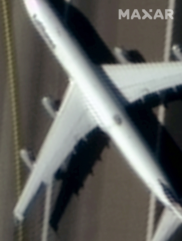
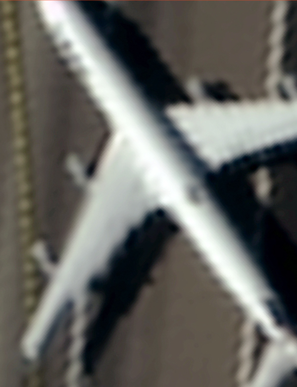
Sample images © Maxar - Commercial Aircraft | Frankfurt, Germany | March 26, 2020 | WorldView-3
Imagery Purchasing FAQ
What is resolution?
Resolution, also referred to as “ground surface distance” (GSD), refers to the relationship between pixel size and distance on the ground. Resolution of 30cm, for instance, implies that each pixel of imagery will represent a 30cm x 30cm area on the ground.
How do I know what resolution I need?
It depends on what you’re looking at. If the object or phenomena you’re observing is very large, a coarser resolution (>5m) might be sufficient, whereas smaller objects will require more granular (<1m) resolution.
What resolution do I need for my machine learning model?
We’ve found that the best test for computer vision is human vision. If you can see it, a model can, too. We’d recommend checking out some of our samples to understand what can be seen at each level of resolution.
What data providers does Astraea work with?
We provide imagery from Maxar, Planet, Capella Space, 21AT, SIIS, as well as public providers.
How do I submit an order?
Click “Get Started” above!
What product options and processing levels are available?
Our base imagery (and prices) assumes 4-band (RGB + NIR) orthorectified imagery. Other options are available! Reach out if you’re interested in more.
What can imagery be used for?
See our documentation.
How will I receive my data after I order it?
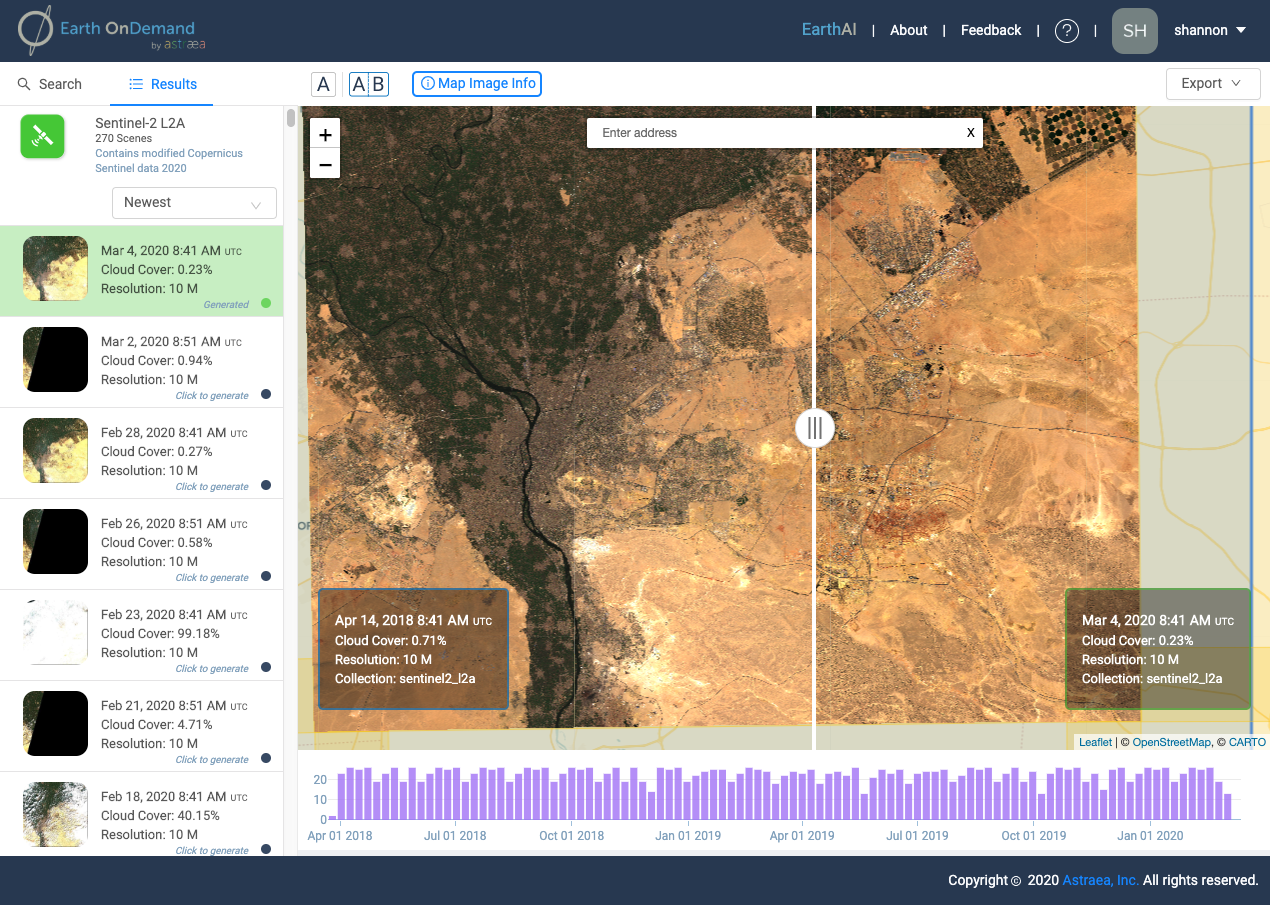
We will deliver your data through our Earth OnDemand platform. Once we obtain the imagery from the provider, we will organize the files in our catalog and make it available to you in a private Dataset in Earth OnDemand. This means you will have the ability to view, download, and access the image from EarthAI Notebook, and, if you have multiple time periods, compare the image to other time periods.
Other Products by Astraea
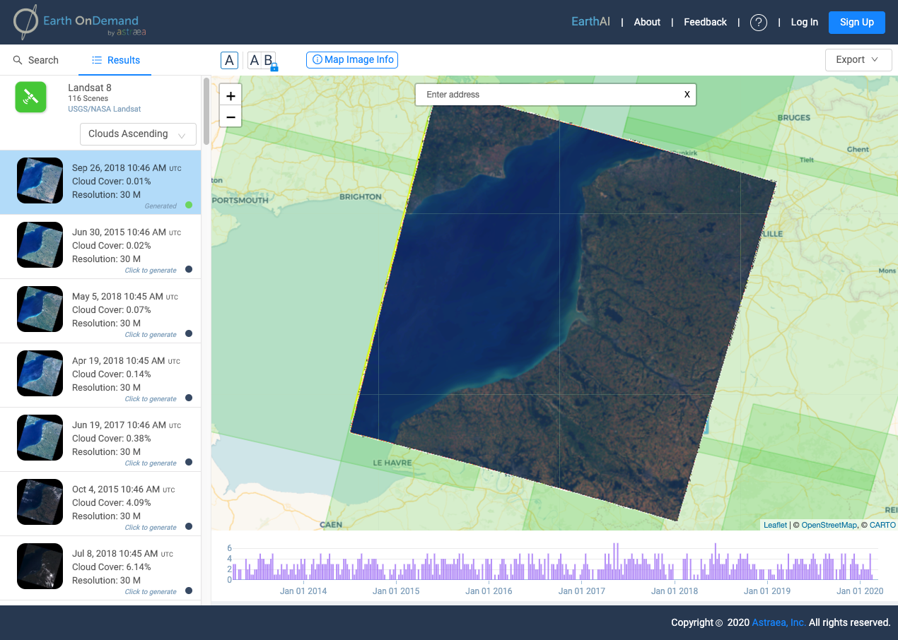
Earth OnDemand
Access and Explore Satellite Imagery
Earth OnDemand's curated database of global analytics-ready imagery puts the power of geospatial data at your fingertips without the traditional challenges associated with big data ingestion and processing.
Get Started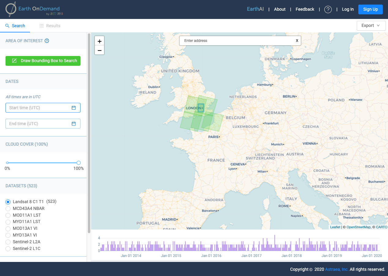
EarthAI Notebook
Analyze and scale geospatial analysis
Fully hosted and managed JupyterLab Notebooks designed specifically to analyze raster data.
See Pricing