Non-Government Organizations and Non-Profit Organizations deliver a broad spectrum of services to make our world a better place. These organizations are charged with delivering and managing large-scale solutions over vast areas. While their charters are expansive, these organizations are typically funded through donations, volunteer efforts, and grants.
As a benefits corporation, Astraea seeks to advance the work of NGOs and NPOs. We have partnered with data providers to offer substantial discounts for NGOs and other Non-Profit Organizations. Astraea also offers discounts on the EarthAI Platform and GeoAI services to qualified NGOs and NPOs.
NGOs and NPOs can leverage the EarthAI Platform to:
- Monitor easements
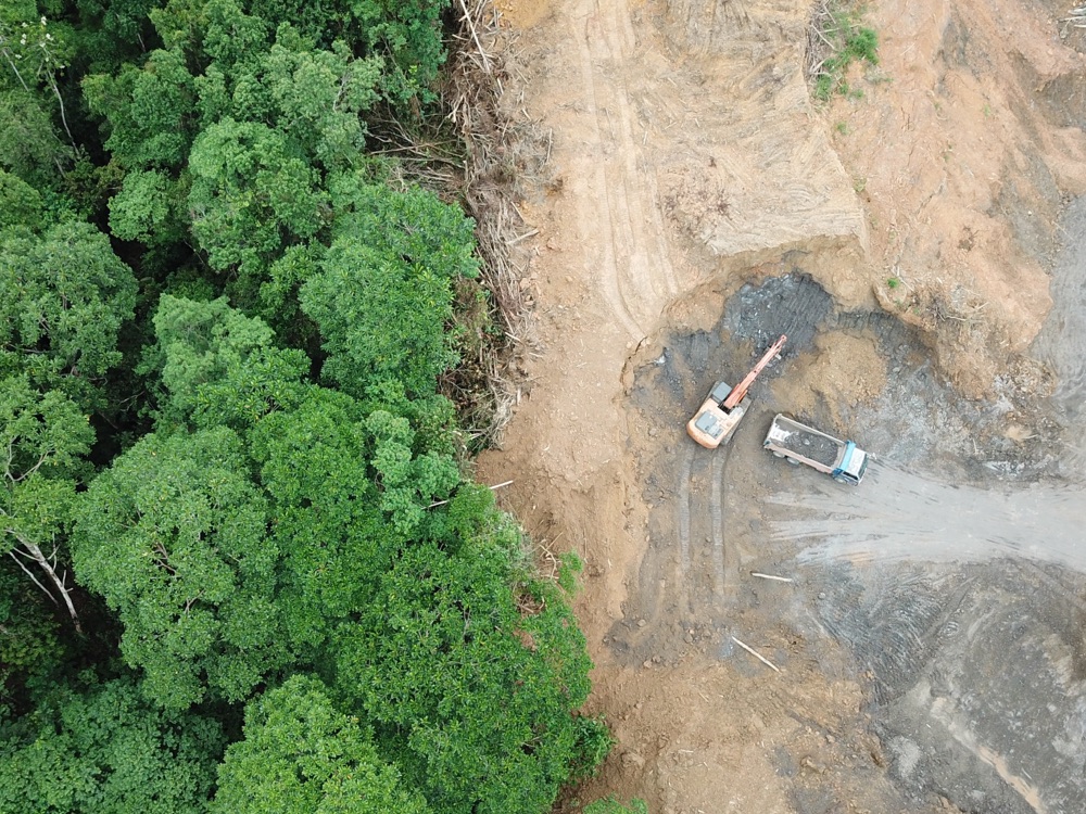
- Measure Deforestation
- Track the food supply chain and monitor for scarcity
- Evaluate local access to key infrastructure
- Monitoring the mobilization of refugee camps
- Measure population in remote areas
- Space-based survey
Highlighted Capabilities
AI-Assisted Mapping
Map infrastructure
Identify and classify objects
Classify land use
Data Procurement & Management
Purchasing guidance and support
Reduce in-person surveys
Develop data acquisition processes
Search based on time and location

Easement Monitoring
NGO's are entrusted to ensure that protected lands are protected. Sending teams into the field or purchasing aerial and drone collections to monitor easements is costly.
Leveraging spaced-based monitoring solutions enables NGOs to monitor vast areas of land without leaving the office. Document compliance with easements easily and cost effectively.

Population Dynamics
Estimating remote populations in support of healthcare, food, and other services can be challenging. Satellite imagery has proven to be one of the most accurate ways to measure populations.
Track migrant or refugee populations by monitoring camps and other temporary housing areas.
Support disaster relief efforts with up-to-date information and damage assessments.
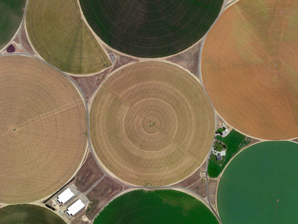
Estimate Crop Yields and Variety
Estimate crop yields to better anticipate food shortages. Track crop type to measure the impact of cash crops on food production.
Monitor the use of irrigation in dry climates and measure crop health using false-color composite images.