
The explosive growth of renewables is putting pressure on existing energy infrastructure and businesses. Integrated Resource Plans are tilting heavily towards clean energy and reducing Carbon Dioxide emissions. With more severe weather events each year, the need to monitor easements and reduce risk to infrastructure has never been more important.
EarthAI helps companies in the energy sector leap forward quickly with tailorable solutions and stay ahead by growing internal AI capabilities on the integrated EarthAI platform.
- Get up-to-date market intelligence
- Maximize efficiency by leveraging satellite and aerial imagery with accompanying analytics
- Predict changes in demand by understanding construction progress
- Apply AI to support clean energy site selection, vegetation management, and easement monitoring
- Increase access to and utilization of spatial data assets and analytic results across the organization
- Integrate with existing workforce management tools to provide up-to-date data in the field
Highlighted Capabilities
Monitoring
Detect changes
Observe locations remotely
Develop automated workflows
AI-Assisted Mapping
Map infrastructure
Identify and classify objects
Classify land use
Data Procurement & Management
Purchasing guidance and support
Reduce in-person surveys
Develop data acquisition processes
Search based on time and location
Predict Production
Utilities and developers alike must monitor sites for change on a regular basis.
With the booming demand for renewable energy, scarce data exist on the status of site development. Multiple permits are issued per site, making it near-impossible to know when construction will begin.
With better information, utilities can anticipate when new generation assets will come online.

Monitor Easements
Keeping a close eye on easement corridors reduces physical, legal, and financial risk to utilities, landowners, and consumers, but deploying teams to conduct this monitoring is expensive.
Use EarthAI to leverage space-based data collection to monitor assets more frequently and at a lower cost per mile of line.
Develop a space-based monitoring strategy to complement aerial and drone-based collection, maximize coverage, and reduce costs. Use satellites to reduce carbon emissions, minimize public disturbances, and avoid FAA regulation challenges.
Astraea brought the power of machine learning and high-resolution geospatial data, saving our team thousands of hours of manual search.

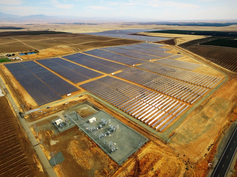
Select Sites
Selecting the best site for new generation assets is complex and requires up-to-date information about the existing grid infrastructure, site conditions, terrain, other generation assets, and the surrounding environs.
EarthAI helps developers gather and produce this information with satellite imagery and elevation data sets.

Monitor Construction Projects
Tracking construction progress for large commercial and industrial facilities is essential for predicting demand and the timing of electrical buildout activities.
With a more accurate view of construction status, developers can find gaps between generation capacity and projected customer load in the area.
EarthAI’s construction monitoring helps utilities track the progress of large construction progress without sending teams into the field.