
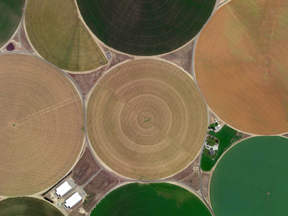
For years, agronomists have fused satellite, drone, and aerial imagery with data on weather, equipment, and inputs to help growers maximize their yield.
Precision agriculture solution providers have the ability to collect and manage geospatial data, but imagery from drones and satellites are often scattered across laptops and hard drives, inhibiting scale.
Sensors offer torrents of data on ground conditions, but existing platforms lack the ability to automatically ingest this data, fuse it with imagery, deploy machine learning models, and continuously deliver insights to the applications that drive decision making in the field.
Highlighted Capabilities
Monitoring
Detect changes
Observe locations remotely
Develop automated workflows
GeoAI Operations
Access data via API
Share data across enterprise
Track licenses
Enable AI
Ag OnDemand
Raster data are complex. The images generated by drone, satellite, and aerial instruments are large and unwieldy, requiring specialized expertise to handle at scale. Ingesting, managing, and leveraging this data can be time-intensive for novice users.
Accessing this data can be a challenge as well. Satellite procurement can be complex and difficult for individual buyers. Drone data is often scattered across laptops and hard drives.
Our simplified, STAC-compliant API provides a single-point-of-access for all of your imagery and derived analytics. Using cutting edge cloud-native techniques, we can rapidly generate derived analytics including basic NDVI, as well as NDWI, EVI, moisture indices, and others, including custom analytics.
With our imagery procurement services, we can help you to obtain the high-resolution satellite data you need, including ESA Sentinel, NASA Landsat, Maxar, Planet, and more. All in one place. So you can spend your time maximizing yield for the grower.
Imagery provides context for data captured from soil sensors, weather, and machine data. Access, store, and process these data together in a unified platform

GeoAI Operations
Underneath the applications that power precision agriculture lies a complex web of data streams. Data flowing from soil sensors, weather models, and satellites alike must be integrated and interwoven to understand and act on the needs of every field.
To remain competitive, Ag Tech solution providers must integrate into their offerings machine learning solutions flexible enough to adapt to the constant change inherent in agriculture. Leveraging EarthAI Pulse, Astraea can help develop, deliver, and operate "living algorithms" that learn continuously, tailoring model performance to the fields you manage. Our geospatial data management platform and scalable validation workforce provide reliable infrastructure to support any scale of growing.