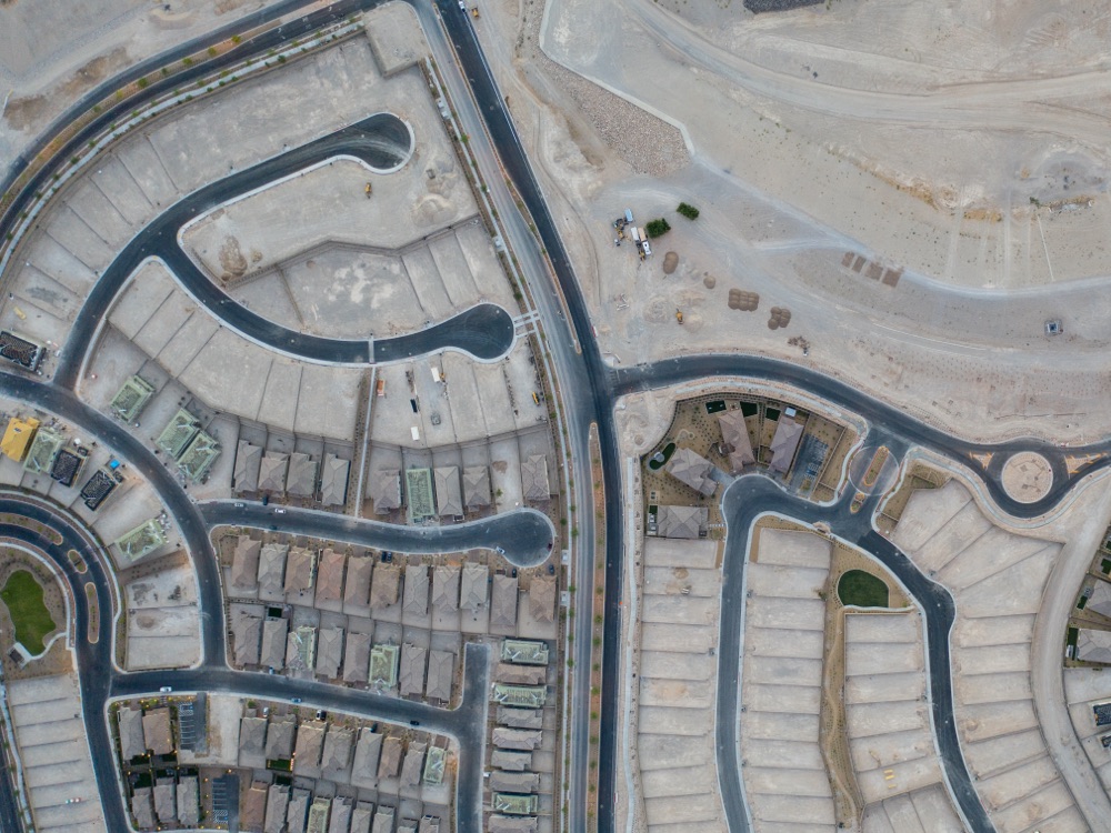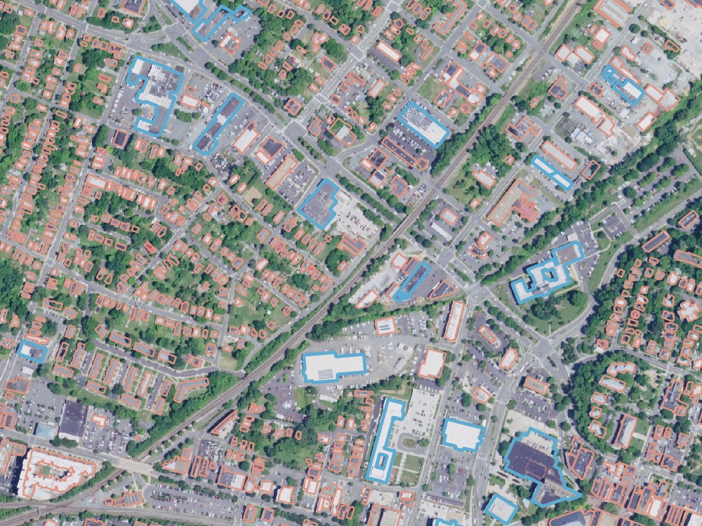
Charged with protecting its citizens and delivering a multitude of services, national governments can leverage Earth-observation data to obtain an informational edge as well as manage their services efficiently and effectively. Astraea can help governments manage and fuse multiple sources of data at a national or local scale.
Highlighted Capabilities
AI-Assisted Mapping
Map infrastructure
Identify and classify objects
Classify land use
Data Procurement & Management
Purchasing guidance and support
Reduce in-person surveys
Develop data acquisition processes
Search based on time and location

Civilian Applications
Earth-observation data can power civilian agencies in their efforts to:
- Monitor Infrastructure and other major programs
- Track economic indicators
- Enforce regulations and easements
- Manage disaster relief
- Monitor climate change
- Assess food supply and agriculture

Defense and Intelligence Applications
Astraea’s team has extensive backgrounds in and supporting the military and intelligence community. By fusing data from many sources Astraea can support GEOINT teams by:
- Monitoring borders
- Tracking adversary movements
- Monitoring supply chains
- Supporting operations

State and Local Government
Local governments must deliver a multitude of services efficiently and effectively for their citizens. Keeping up with everything from real estate transactions and infrastructure maintenance to construction projects and economic development is challenging and costly. Remote Sensing provides a reliable, cost-effective way to monitor thousands of activities and projects without leaving the office.
- Create up-to-date imagery base maps
- Fuse imagery data with other spatial data to understand traffic patterns, economic changes, and utilization of government-owned facilities
- Track economic stability
- Enforce regulations
- Appraise properties
- Monitor construction projects, infrastructure, and traffic patterns